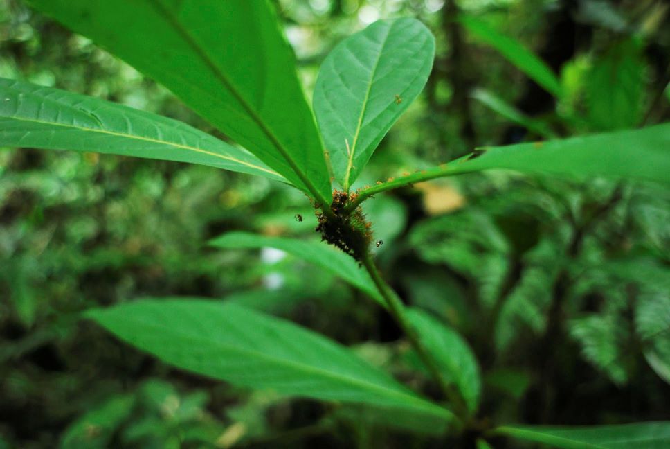
Satellite monitoring technology is helping to protect Brazil’s Amazonian rainforest. Sensitive ecosystems in other developing economies could also benefit from adopting the country’s deforestation reduction model, according to a study conducted by two University of Toronto researchers and their co-authors. The model combines satellite monitoring with a targeted location-based policy that includes prompt inspections of newly cleared forest areas and quick enforcement measures, including fines. Analysis of the data found that the model reduced deforestation by 43% and cut emissions by almost 50 million tons of carbon.

Professors Eduardo Souza-Rodrigues and Robert McMillan of the Department of Economics were part of the team that studied Brazil’s 2008 policy response to what Souza-Rodrigues describes as ‘peak deforestation’ of the Amazonian rainforest in 2004. In that year alone, an area the size of Massachusetts was deforested. In response, the government of Brazil created a priority list – a blacklist policy – of municipalities where deforestation was particularly rampant for more intense monitoring and enforcement.
“The technology to monitor via satellite systems, to observe deforestation in real time, and to catch the offenders red-handed is a game-changer,” Souza-Rodrigues said. “In the past it was difficult, but now the satellite travels over the same place every few days, and it is highly accurate, so when deforestation occurs, an inspector can be sent out to the site usually within a week or so of the event and issue the appropriate penalty.”
While the model was successful in reducing deforestation, the researchers found areas where the policy could be optimized to achieve even further reductions to both deforestation and carbon emissions through refinements to the list of municipalities on the priority list.
“It depends on political will, for sure, but it also depends on the availability of resources and the ability to send people to inspect and enforcethe policy,” Souza-Rodrigues explained. “We also found a certain spill-over effect. When farmers in a municipality that isn’t on the blacklist see their neighbours being monitored and fined, they could have responded by deforesting more because they weren’t being monitored, but we found they deforested less due to proximity. So, you don’t have to put two municipalities that are side-by-side on the list because you’d lose the spill-over effect. We also found that you don’t need to blacklist municipalities where there are already other legal protection systems in place, such as nature conservancy areas or Indigenous peoples’ reservations.”

In the past, governments in developing economies were limited in their ability to implement effective environmental policies. As a result, unregulated or illegal logging and clear-cutting were recognized as major causes of deforestation and carbon emissions but went largely unchecked. One of the things that makes Brazil’s model portable is its targeted nature focused on monitoring and enforcement policies.
“It’s extremely cost effective,” Souza-Rodrigues said. “The governments have to make an initial investment in training people to use the satellite monitoring data, but after they have used it for some time, they recover all of that investment by targeting their efforts where they are most needed.”
The study Optimal Environmental Targeting in the Amazon Rainforest appeared in the Review of Economic Studies.
Return to the Department of Economics website.
Scroll more news.
